Clarification:
The maps that follow are not definitive; they only indicate parcels that might be subject to 14.2, and the determinations are not necessarily exhaustive.
The BCPOA map identifies small parcels that are not in known subdivisions, but does not check for common ownership as of 1971, which is what counts for the regulation.
The County map shows parcels in common ownership as of today. Ownership today is not the decision criteria for density rights in 14.2, so this is only relevant to the extent that ownership today is indicative of ownership in 1971.
Unfortunately, digital records only go back to the mid-1980s, so it’s difficult to improve on this, except by manually searching the titles for a particular parcel.
BCPOA Map
Here’s a pair of maps of parcels potentially affected by the repeal of 14.2:
BCPOA identified 134 undeveloped parcels under 36 acres, most of which are adjacent, but we have not investigated ownership as of 1971. Therefore these parcels overestimate the impact of 14.2:
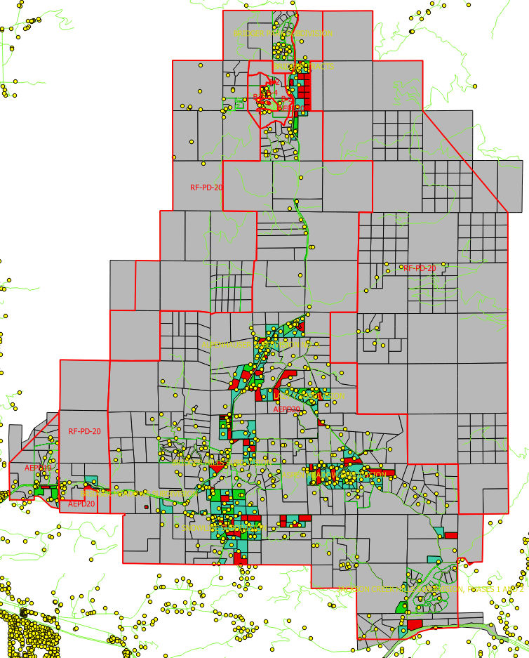
Above, small parcels that might be affected, if they were in common ownership as of 1971, are colored green (if they now have a structure, according to GIS data) and red (if they are undeveloped).
County Map
Separately, the Planning Department identified small parcels in common ownership. Their methods are described in Section14.2_GIS Analysis.MEMO. This map omits several parcels that we know to be subject to 14.2, so we suspect that it underestimates the extent of the impact. [It turns out that the omitted parcels were obscured by road lines; the county showed a revised map that revealed the missing parcels.]
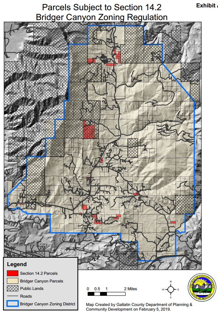
Presumably, the true impact lies somewhere between these two maps – probably closer to the county version.
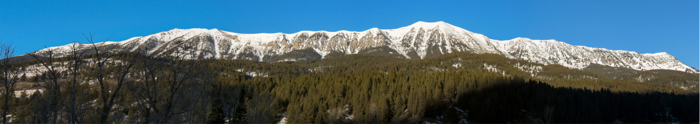
Further reading: 14.2 Repeal – Background


 Twitter
 Facebook
 RSS
RSS Email
Email